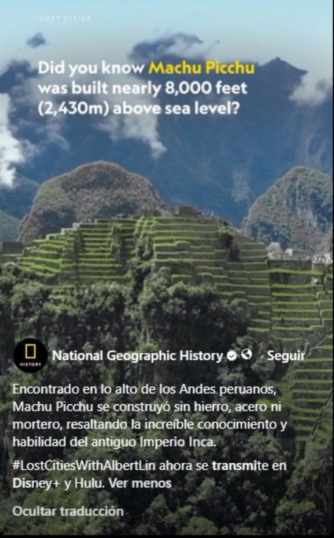
The precision of its stone walls, the absence of mortar in its primary structures, and an advanced water management system make Machu Picchu one of the greatest examples of Inca engineering—a civilization that built a citadel high in the Peruvian Andes without the use of iron or steel.
This is showcased in a documentary produced by the National Geographic History channel, which emphasizes the technical expertise and planning capabilities of the ancient Incas in constructing an architectural complex adapted to mountainous terrain prone to seismic activity.
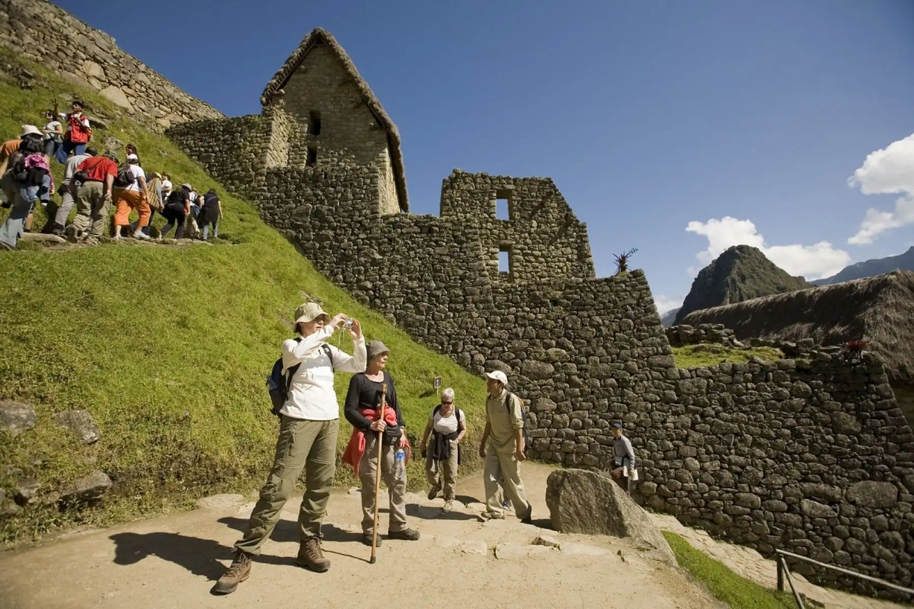
Located in the Cusco region, the citadel is renowned for how its stone blocks are fitted together with remarkable precision. This dry-stone construction technique allowed for the erection of walls without the need for mortar as a binding agent.
Walls that defy earthquakes
One of the most striking features of Machu Picchu is the arrangement of its stones—some with irregular shapes—which fit together and remain in place thanks to their geometry, weight, and the distribution of loads.
This type of construction enhances the structures' resistance to seismic activity. During an earthquake, the blocks can shift slightly and then resettle, which reduces the risk of the walls fracturing, as might happen with rigid, fixed structures.
The technique is known as dry-stone masonry. While it is sometimes associated with the term "ashlar," that term specifically refers to hewn, generally regular stone blocks; therefore, it does not fully encompass all the stonemasonry techniques employed by the Incas.
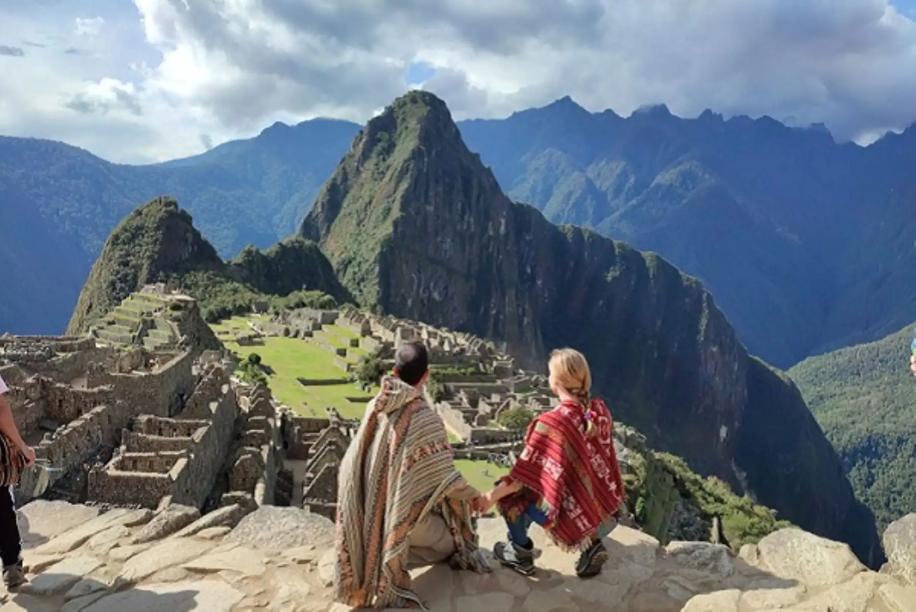
The builders also took advantage of the natural features of the terrain to integrate buildings, terraces, and walls into the mountain slopes. This planning allowed the architecture to be adapted to a complex environment and enabled the effective use of available resources.
The special also highlights the incredible hydraulic engineering of Machu Picchu, which made it possible to capture, channel, and distribute water to meet the needs of its inhabitants.
Its fountains, canals, and drainage systems were part of a design that harnessed water and helped control its flow throughout the complex.
In addition, there are the agricultural terraces, which helped make use of the slopes, conserve the soil, and reduce erosion. These structures were fundamental to managing the landscape and ensuring the stability of the terrain upon which the citadel was built.
The combination of architecture, drainage, and water management demonstrates that the construction of Machu Picchu was not limited to erecting monumental buildings; rather, it required a comprehensive understanding of the geographical environment.
Modern technology for studying ancient cities
Inca engineering expertise is also the subject of new research utilizing technological tools. The National Geographic documentary series *Lost Cities with Albert Lin* explores archaeological sites through scanning techniques and technologies such as LiDAR.
This system uses laser light pulses to measure distances and generate detailed representations of the terrain. In archaeology, it allows for the identification of surface features and potential structures that might go unnoticed during a conventional inspection.
In the episode dedicated to Machu Picchu, scientist and explorer Albert Lin travels through the Peruvian Andes to investigate the origins of the citadel and search for evidence of human occupation predating the Inca civilization. The production combines field exploration, archaeology, and three-dimensional visualization tools.
The use of these technologies expands the possibilities for studying the archaeological landscape and understanding how ancient societies occupied and transformed their environment.
More from Andina:
(END) MAO / MDV
Publicado: 26/10/2026